Unravelling the complexity of vulnerability, risk and resilience in flood hazard systems
We are becoming more vulnerable to natural hazards. Since 1950, the ongoing trend shows increasing losses from global catastrophes, but why is this?
The challenge
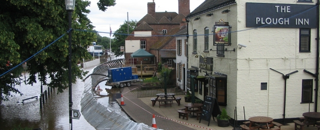
In the UK, losses due to natural hazards are primarily attributable to flooding. This is amplified globally, with flood-related hazards having increasingly caused detriment to human life and settlement over recent decades. Managing this detriment is a complex, inter-disciplinary challenge. This complexity cannot, either theoretically or physically, be eliminated when planning for flooding incidents. Therefore, the goal of flood hazard management should not be to eliminate complexity from consideration, but rather to harness it.
Urban settlements currently house 55% of the global population and are particularly vulnerable to flood impact due to their growing size, largely precarious similarity of structures over a diverse topography, their preferential positioning close to coastlines and rivers and overall systematic complexity. It is no surprise that future losses from flooded cities are estimated to increase markedly, this loss being rooted in the expected increases in event frequency and magnitude attributable to climate change, population density and subsidence. This means that the development of more accurate flood modelling, coupled with diverse risk analyses, is now seen as an essential goal in developing appropriate support for better management of current and future global flood risk.
It is widely agreed that the complex inter-dynamics of vulnerability, risk and systematic capacity, in relation to the anthropogenic interface with the natural environment, must be accounted for in the diverse risk analyses required to inform more robust future flood models.
What we're doing
Flood inundation modelling is a key research tradition at the Bristol School of Geographical Sciences, but it is increasingly clear that problems in flood risk, such as those linked to the systematic complexity of flood vulnerability in urban areas, cannot be solved by scientists alone and that there is need to bring together interdisciplinary teams of scientists, social scientists and engineers. The first step in addressing this problem was to framework and develop a model which would quantify these problems and provide a means by which the inter-disciplinary hypotheses arising from these problems could be tested.
The result of this understanding was the Hydro-Agent Based Model (HABM), developed here at Bristol with assistance from colleagues at the VU, IVM in Amsterdam in the first instance and with further enhancement provided by the DPRI in Kyoto. The HABM incorporates Bristol’s LISFLOOD-FP hydrodynamic model into an Agent Based Model; developed with NetLogo. The model simulates hazard events and systematic interactions that take place during these events, down to an individual (person-to-person) scale. The counter-intuitive results of these simulations thus far have encompassed a highly influential behavioural response characterised by preference for social interaction between individuals when responding to a flood event, a higher percentage of pre-warning leading to a higher likelihood of potential casualties and the fabric of the built environment itself acting to increase vulnerability.
Developing these new insights is an important milestone in analysing the problems presented by the complexity of flood hazard scenarios, primarily owing to the questions which arise from them. This having been officially recognised with the project receiving the commendation of international experts and the best poster award at the inter-disciplinary ESSA Social Simulation conference held in Stockholm during August 2018, in addition to the project outcomes being represented in several academic publications for journals of international repute..
How it helps
The HABM project has so far helped bridge a disciplinary gap between physical and social science. It enables the testing of inter-disciplinary hypotheses, in relation to natural hazards, with all the related terminology such as vulnerability, risk and resilience for pre, during and post event scenarios, between different system scales and with unprecedented scope. This means that real world planning measures can be tested in life-like simulations, to identify where they succeed and where they fail, prior to being put into place in the real-world.
Publications
Urban flooding in Britain: an approach to comparing ancient and contemporary flood exposure, T.E. O’Shea & J. Lewin. (2020). DOI: https://doi.org/10.1007/s11069-020-04181-8
Testing the impact of direct and indirect flood warnings on population behaviour using an agent-based model, T.E. O’Shea, P. Bates & J.Neal. (2020). DOI: https://doi.org/10.5194/nhess-20-2281-2020
Upcoming publications
Establishing resilient systems: constructing system topographies and mapping states. In: Sustainability and complexity: towards a post-disciplinary approach (Springer World Sustainability Series). T.E. O’Shea, P.Bates., J.Neal, J.Lewin. (in press).
Capitalist Floodplains: Terrain, Territory and Morphophagia in England. T.E. O’Shea & J.Lewin. Area. (2020).
 Lead researcher profile
Tom O'Shea, PhD candidate focussing on Complex Systems, Hydrodynamics, Risk and Resilience.